A quarter of an hour as the measure of a city: school, supermarket, doctor, park, all within an easy walk or bike ride. The French - Colombian scholar Carlos Moreno gave this notion its catchy name — the "15-minute city" — and Paris continued to make it the guiding principle of its urban development. But the number in the name is less literal than it first appears. What matters is not whether a trip takes 10 minutes or 20, but whether the essentials of daily life are close by at all.
Proximity, Not Speed
The 20th-century city pulled apart housing, jobs, shopping and leisure, scattering them across the map. Transportation networks were then built to bridge the resulting distances, enabling ever larger radii of movement. The 15-minute city reverses that logic: rather than making trips faster, it tries to draw the destinations of daily life back together. In doing so, Moreno’s idea is drawing on a European tradition of the compact, mixed-use "city of short distances," distilled into a phrase that has proved easy to repeat. For architects and planners, the implications are concrete — a dense, walkable and mixed - use neighborhood with easy accessible ground floors, and public spaces that make short trips genuinely possible.
More City, Same Footprint
Paris's schools are a good example of how the idea works in practice. Playgrounds are being turned green and opened to the neighborhood outside class hours; some streets in front of schools have been entirely closed to cars. Spaces once reserved for a narrow program and a fixed schedule are now available for longer, and to a wider range of people. City planners describe this layered use as a deliberate alternative to constant new construction: not every gap in a neighborhood's services requires its own building, since existing places can simply take on additional roles. One example is the city's proposed "Sport Social Clubs," which combine athletic programs with childcare and homework help.
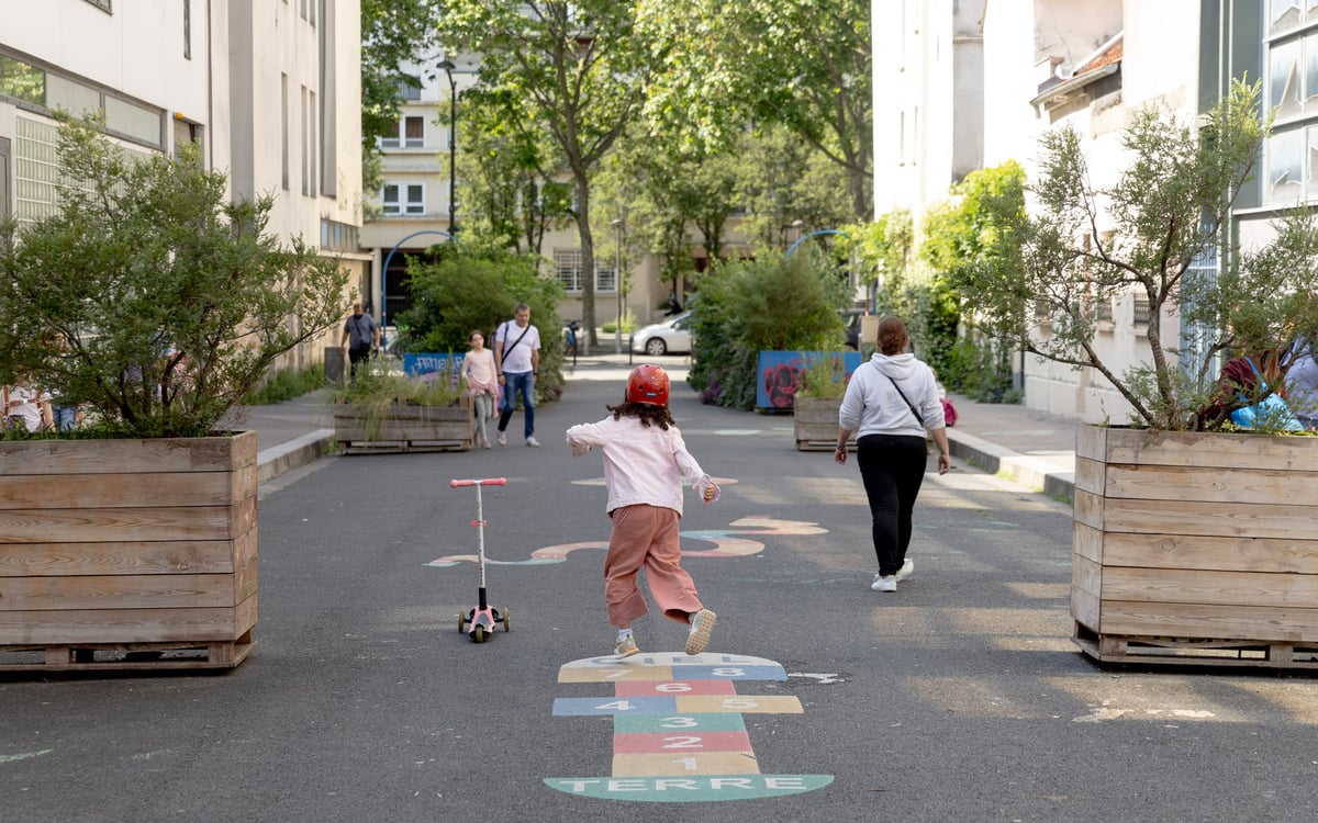
Density, in other words, has gained another dimension. Alongside the built density and mixed use that define a neighborhood, there is now the programmatic and temporal density of individual buildings — a school that serves as a classroom in the morning, an athletic facility in the afternoon and a neighborhood gathering place in the evening. For architects, the open question is how much spatial flexibility such overlapping uses require.
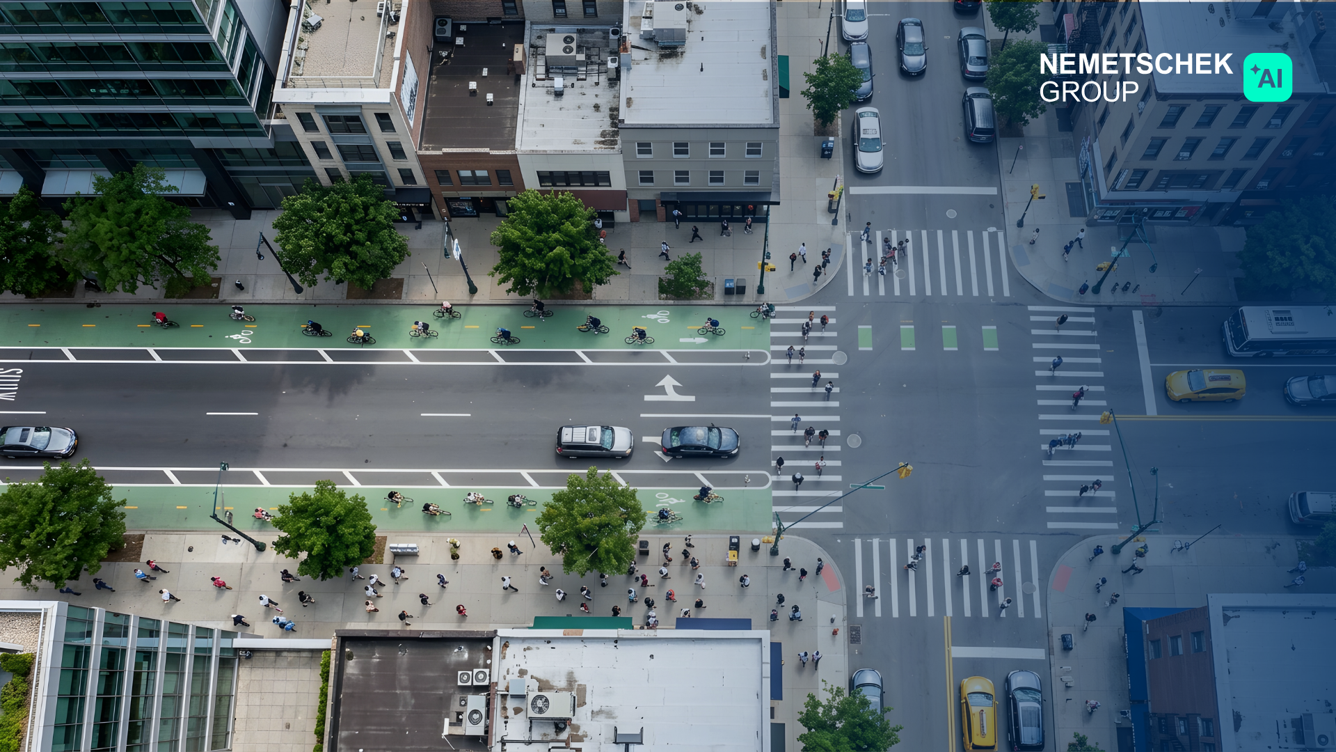
On the street, the same logic becomes a question of allocation. The expansion of bicycle infrastructure is among the most visible changes in Paris, and among the most contentious. Bike lanes and wider sidewalks claim space once reserved for traffic lanes or parking, reshuffling how streets are used. Because public space in an already built city is nearly impossible to expand, any change to a street's layout amounts to a redistribution of limited room.
How Do You Measure Closeness?
Even on a map, the quarter hour is less clear-cut than its name suggests. A circle drawn around a home reveals little about what is reachable on foot: a rail line or a river can separate places that appear close together, while a new bridge or passage can shorten a trip without changing the distance on paper at all. That is why planners rely on isochrones — maps built from the actual street and path network that show the area reachable within a given time. Layered with data on land use, these maps make it possible to see which schools, shops, parks or clinics fall within that zone.
Whether a place qualifies as a 15-minute city, though, depends heavily on what is being measured. A study by Germany's Institute for Regional and Urban Development, focused on North Rhine-Westphalia, required that four basic services — from schools to pharmacies — be reachable within 15 minutes on foot. By that standard, only about a third of the region's population qualified in 2023. A 2025 study by the German Federal Institute for Research on Building, Urban Affairs and Spatial Development, titled "The City of the Quarter Hour," took a broader approach, factoring in 24 categories of everyday services, and arrived at a considerably more favorable picture: the 15-minute city, it concluded, is "considerably more present in Germany than commonly assumed." Taken together, the two findings suggest that the quarter hour is less a fixed fact than a definition that must be chosen. Does the measure include cycling, or only walking? Is the nearest supermarket sufficient, or does a well-served neighborhood require a genuine choice of stores?
That ambiguity is part of what makes the 15-minute city fertile ground for data-driven planning. Building data, points of interest and street networks can be combined in geographic information systems or digital city models. But before such a model can produce results, planners must first decide what counts as a well-served neighborhood. Proximity, moreover, does not guarantee use. The German federal institute did find a link between strong local amenities and how often residents use them but noted that people do not automatically choose the nearest option — quality and choice shape decisions as much as distance does.
Short Trips, Long Connections
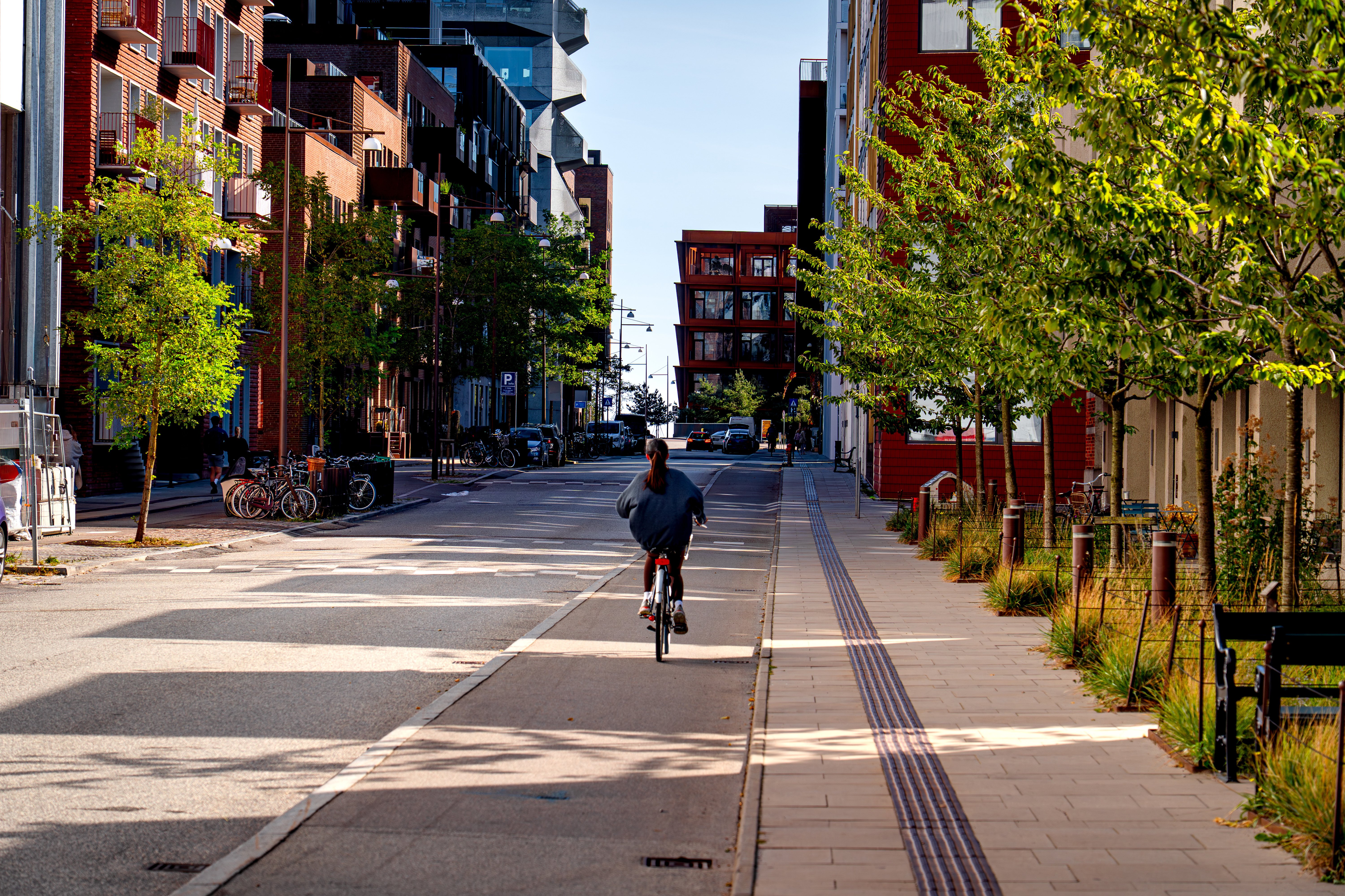
Paris itself demonstrates that proximity cannot replace every form of mobility. Even as the city promotes short trips, walking and cycling within its neighborhoods, it is simultaneously building the Grand Paris Express, a new high-speed rail network for the wider metropolitan region. Its primary purpose is to connect the suburbs to one another directly, so that trips no longer have to route through central Paris. The two strategies are meant to complement each other: a supermarket or elementary school can sit close by, but specialized employers, universities and major hospitals cannot exist in every neighborhood. That distinction matters even more outside dense metropolitan cores, which is why the Institute for Regional and Urban Development has proposed pairing the 15-minute city with a companion concept, the "30-minute countryside," for places where lower density makes it impossible to organize daily services within walking distance and where access by public transit becomes the priority. Proximity and mobility, in this framing, are not opposites but complementary strategies suited to different kinds of places.
Other European cities pursue similar principles without always invoking the 15-minute label. Antwerp's spatial plan distinguishes between services at the neighborhood, district and city level, assigning each an expected walking time, and pairs that logic with mixed use, targeted density and multimodal transit. London is weighing the concept against its own uneven geography: while 90 percent of Londoners can reach a high street within 10 minutes, conditions in the city's less dense outer boroughs are considerably more difficult, which is why the borough of Waltham Forest has adopted the explicit goal of a "15-minute neighborhood." Milan has built "Milano 15 Minuti" directly into its development strategy, using it to support local businesses, social services and new uses at the neighborhood level. The idea is being reworked well beyond Europe as well: Singapore pairs "20-minute towns" with the broader goal of a "45-minute city," and as one of the world's most densely built city-states, it also illustrates that proximity need not be organized only horizontally. In a mixed-use tower, home, office, shops and a gym can stack directly on top of each other, which means the short walk of the future might not cross a neighborhood at all. It might just be an elevator ride.
Finding the Right Scale
As the scale shifts, so does the meaning of proximity. Inside a building, layered uses can create additional amenities; at the neighborhood level, what matters is the mix of uses, the connectivity of streets and the quality of public space. At the scale of the city or region, the priority shifts toward linking up destinations that are, by necessity, farther away. Seen this way, the 15-minute city is less a blueprint than a benchmark: digital models can map accessibility, compare alternatives and show how a new street or a new use might affect a neighborhood, but which services genuinely need to be close, and which simply need to be well connected, remains a question specific to each place.
Therefore, the real value of the 15-minute city might have never really been about the fifteen minutes itself. It's about whether nearness and connection are pulling in the same direction — or working against each other without anyone noticing.
Join Our Newsletter Today